
Description
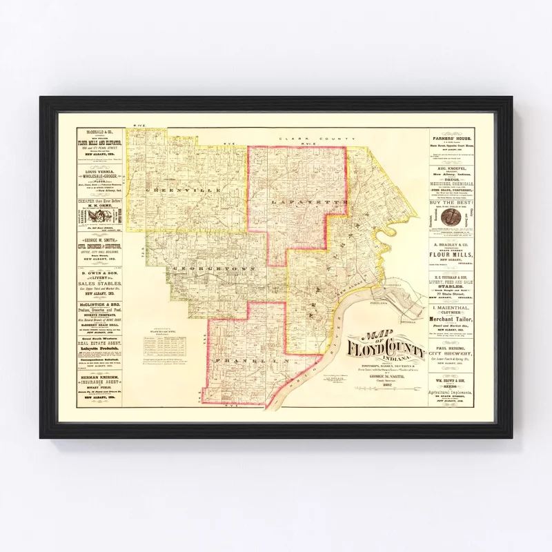
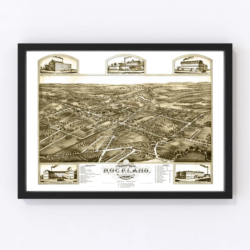
This beautifully restored 1882 map of Floyd County, Indiana, is the perfect blend of history and style. It’s been digitally preserved with an eye for detail, making it a wonderful piece for anyone passionate about local history. Featuring notable areas like New Albany and Georgetown, this map brings the charm of yesteryear to your space.
Our maps are crafted with care using high-quality materials. Whether you choose a framed version made from solid wood or an unframed print on premium matte paper, you’re investing in a piece that will last. The canvas option offers added texture and durability with polycotton stretched over solid wood bars.
This ready-to-hang art not only enhances your home or office decor but also serves as a conversation starter for guests intrigued by the rich past of this region. A gift idea that stands out for history buffs or those who hold Indiana dear—this vintage map captures the spirit of its time while perfectly complementing any traditional setting.
Reviews
There are no reviews yet.