
Description
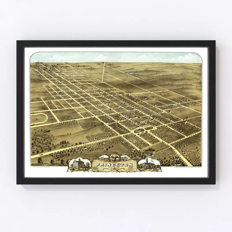
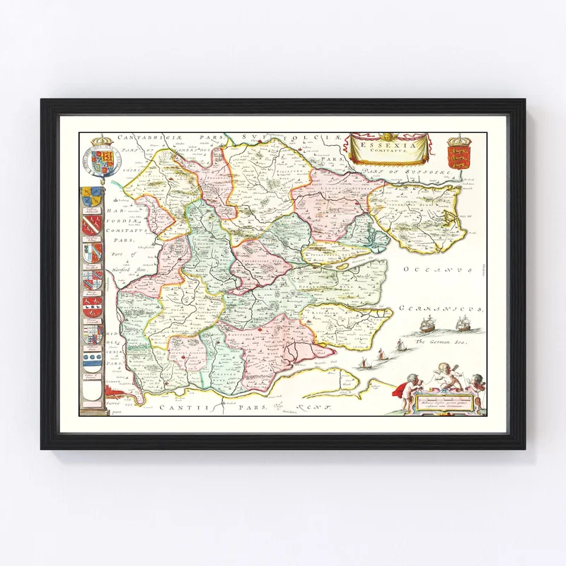
Looking for a unique way to celebrate local history? Our digitally restored map of Princeton, highlighted within Bureau County, Illinois, offers a charming glimpse into the past. Originally crafted in 1870, this vintage piece is more than just art—it’s a conversation starter and a treasured keepsake for anyone with an affinity for historical charm.
Whether you’re looking to spruce up your home or office, this map fits seamlessly with any traditional decor. It’s also an ideal gift for those who have an interest in regional history or genealogy. Ready to hang right out of the box, you can choose between framed options with hand-stained solid wood frames or stunning canvas prints made from durable polycotton stretched over sturdy wood bars.
If you’re leaning towards something simpler, opt for our unframed version printed on high-quality matte paper. Whichever style you choose, you’re not just buying art—you’re bringing home a piece of history preserved through exceptional craftsmanship.
Reviews
There are no reviews yet.