
Description
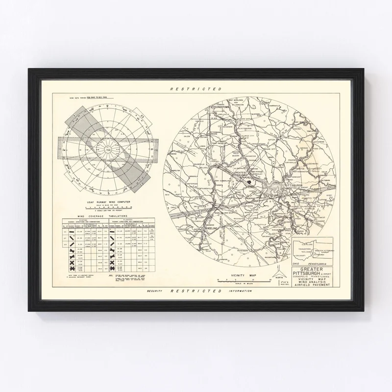
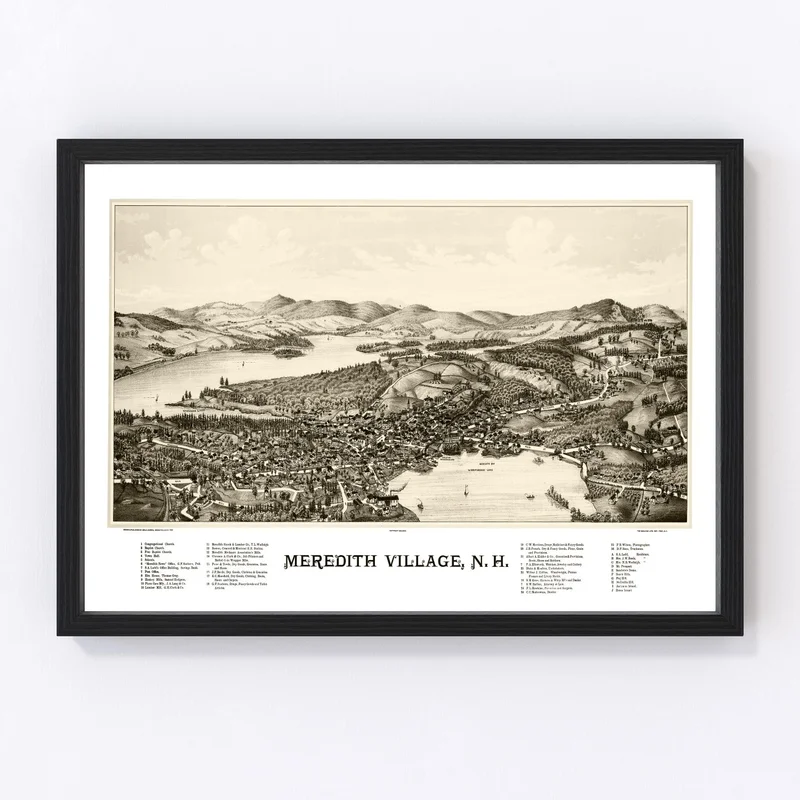
Discover a piece of local history with our meticulously restored 1951 vintage map print of Coraopolis, nestled in Allegheny County, Pennsylvania. This charming map offers more than just an aesthetic appeal; it’s a delightful dive into the past, perfect for anyone who cherishes the rich tapestry of American history.
Whether gracing your home or adding a touch of class to your office, this traditional piece is sure to spark engaging conversations. Each print arrives ready to hang, providing immediate enjoyment and fitting effortlessly into any space. Crafted by hand with quality materials, our framed versions boast solid wood construction and tasteful staining for an added touch of elegance.
For those who prefer canvas prints, expect nothing less than excellence – crafted on polycotton canvas and mounted on durable stretcher bars. If your style leans towards unframed artistry, enjoy crisp details on high-quality matte paper that captures the beauty and detail only vintage maps can offer. Gift it to a friend or cherish it yourself; this timeless map is both meaningful and memorable.
Reviews
There are no reviews yet.