
Description
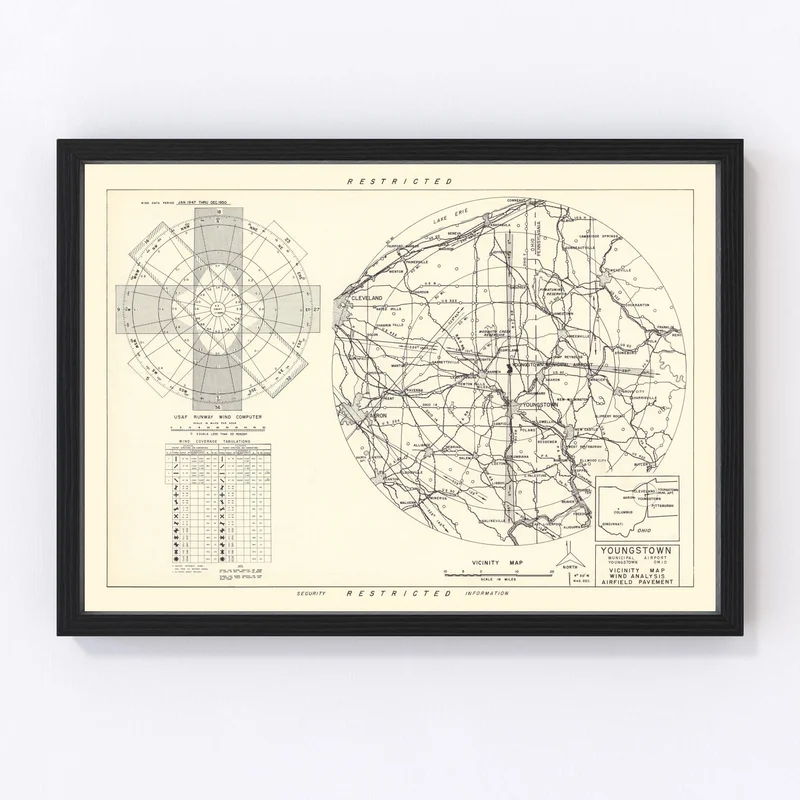
Discover a piece of history with this striking 1952 vintage map of Youngstown, nestled in Mahoning County, Ohio. Carefully restored by Ted’s Vintage Art, this map is more than just a visual delight—it’s a fascinating conversation starter. Whether you’re an avid history buff or someone who simply appreciates the charm of nostalgia, this print is the perfect addition to your home or office.
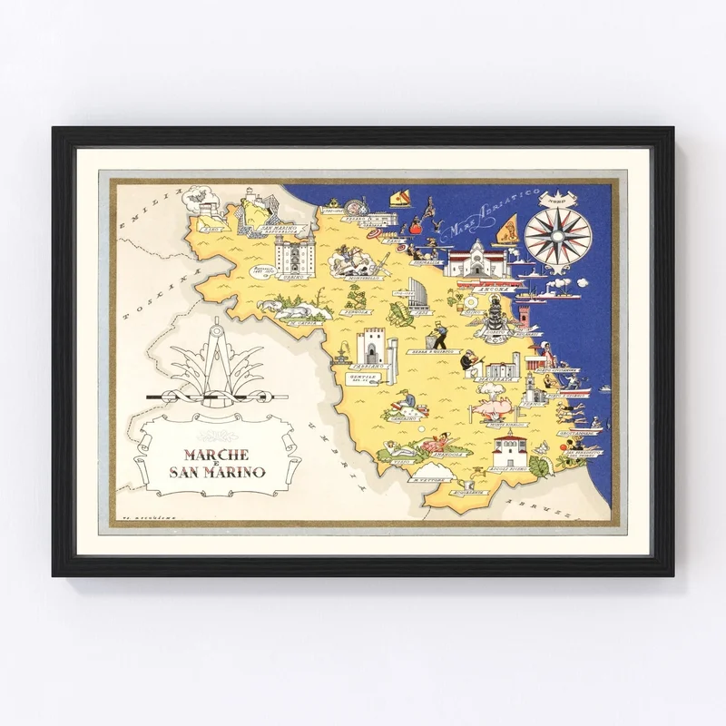
The quality craftsmanship shines through every detail. Our prints are available in framed and canvas options, using solid wood frames that are hand-stained to complement any decor style. The canvas prints boast polycotton material stretched across sturdy wooden bars for lasting durability. If you prefer something simpler, our unframed options printed on high-quality matte paper provide an elegant look.
Ready to hang right out of the box, each piece is meticulously constructed by hand to ensure excellence in both appearance and feel. Gift it to a friend passionate about local history or add it yourself as a timeless tribute celebrating Youngstown’s rich heritage.
Reviews
There are no reviews yet.